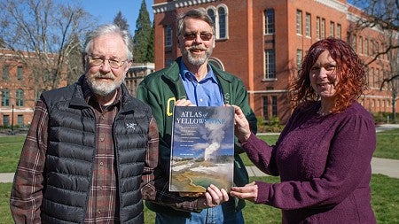
March 1 marks the 150th anniversary of the founding of Yellowstone National Park in Wyoming. The publication of the second edition of the Atlas of Yellowstone, led by the University of Oregon, comes just in time to celebrate Yellowstone’s legacy.
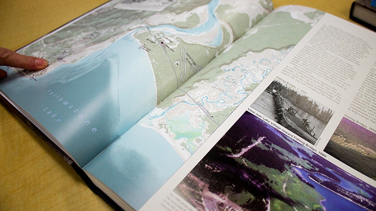
Yellowstone is the United States’ first national park and the atlas focuses on the park itself as well as its influence on Wyoming, the United States and the world. The second edition of the book is filled with more than 1,000 maps, photographs and personal essays that help tell the story of Yellowstone in relation to park management, conservation and American culture.

Marcus, Meacham, Steingisser and Menke are all affiliated with the UO Department of Geography. Meacham serves as the director of the UO InfoGraphics Lab and Steingisser is its cartographic project manager. Both worked on previous editions of the atlas with Marcus, who is now a professor emeritus.
Production for the second edition of the atlas largely occurred during the pandemic. That meant the team had to adapt to remote work and restricted travel, but they also found inspiration in the social climate erupting during that time.
“Something that we really wanted to honor was the way in which Black Lives Matter exploded on the scene during the production,” Marcus said. “We very much wanted to acknowledge the issues of diversity around national parks. They have not very well served a lot of populations, and that is something that needs to be addressed.”
The second edition introduces issues such as who visits national parks, as well as stories and data that represent and include indigenous populations throughout the book. The team worked with 130 experts to piece together the diverse subjects and stories surrounding Yellowstone.
“My favorite part was working with all of these people who have dedicated their careers to understanding different aspects of Yellowstone,” said Steingisser, who worked on cartographic production for the atlas. “Not only do we learn from that process, but helping them develop materials that they can use beyond the atlas to tell their stories is rewarding as well.”
Doctoral, graduate and undergraduate students from the UO were involved in nearly every aspect of the book, and it also includes work from Meacham’s advanced cartography class.
Not only does the atlas celebrate national parks, it also celebrates the strong presence the University of Oregon has in environmental fields and the support it provided throughout the production process. The book opens with a letter from UO President Michael H. Schill and Provost Patrick Phillips that celebrates the work that many faculty and students contributed.
“Just as the Atlas of Yellowstone lays the groundwork for capturing stories of the natural and cultural world, so, too, does the University of Oregon by offering students particular insight, information, and solutions to the environmental challenges we face across the globe,” the letter reads. “We see the University of Oregon as the perfect place from which to tell the Yellowstone story (and others!)—a place of firsts, a place where perspectives on humanity and the natural world come from many avenues of study, and a place that provides leadership in environmental stewardship for the world.”
—By Natalie Myking, College of Arts and Sciences


