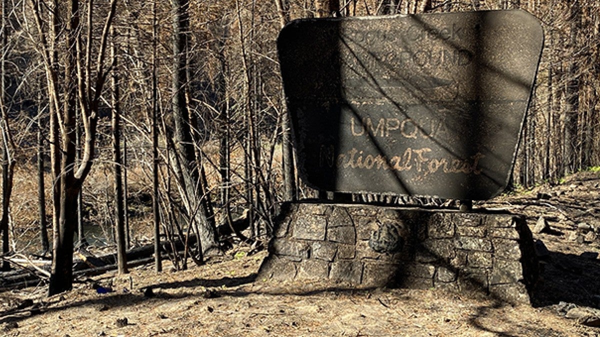
The Oregon Department of Transportation has enlisted researchers from the UO’s Museum of Natural and Cultural History to help protect Native American and other cultural resources inside areas devastated by this year’s massive wildfires.
Using maps, spatial data and findings from decades of field research, museum archaeologists are identifying culturally sensitive areas within the burn zones. They also are assessing the need for archaeological monitors or historic preservation specialists to accompany cleanup crews and ensure the preservation of archaeological and more recent historic materials.
“We’re flagging a number of documented cultural resources, including archaeological sites, culturally modified trees, cemeteries and known or reported burials,” said archaeologist Julia Knowles, who manages the museum’s research lab and is heading up the mapping effort.
Oregon’s 2020 wildfire season was one of the most destructive on record, leaving more than a million acres burned and thousands of buildings destroyed.
Initially the team provided data surrounding affected highway corridors within the fire perimeters, where swift debris removal was necessary to provide safe access for residents and disaster response crews. The effort is now expanding to include the entire fire areas within the state.
Knowles said that in addition to archaeological sites, the burn areas contain a number of structures that are listed on the National Register of Historic Places and many others that are eligible for the list. Examples include the Old McKenzie River Fish Hatchery in the Holiday Farm Fire area, early 20th century residences in Ashland’s Almeda Drive Fire area and the Oak Grove Hydroelectric Project on the Clackamas River in the Riverside Fire area.
“We’re working closely with the State Historic Preservation Office to protect these structures throughout the cleanup,” Knowles said.
In addition to tree and debris removal, the state’s response involves erosion control efforts and the replacement or repair of guardrails, signs, culverts and other structures affected by the wildfires. Tom Connolly, director of archaeological research at the museum, said that projects like these can involve significant ground disturbance, which has the potential to damage archaeological sites and materials.
“Our charge is to provide detailed and accurate archaeological data so the projects can proceed without harming tribal and other resources,” said Connolly, who over the years has authored nearly 700 technical reports documenting cultural resources in Oregon.
Connolly said that state agencies regularly contract with the museum to ensure compliance with state and federal cultural preservation laws during road and public works projects.
“Disaster situations imbue the work with greater urgency,” he said. “As climate change translates into increasing wildfire and storm intensity, coastline erosion and flooding, the world’s archaeological sites are increasingly in danger, and as a result we expect to see a continually expanding need for archaeologists on disaster response teams.”
– By Kristin Strommer, Museum of Natural and Cultural History


